
On 16 Mar 1857, William Polk of Indiana sold an estimated 350 acres on Salt River near where the road from Louisville to Bardstown crosses the river to James Wright and his son Joseph H. Wright as shown below. Following Joseph's death, his father sold his share of the farm to Ellen Wright, administratrix of Joseph H. Wright's estate, and Joseph's brother, James C. Wright. At that time it was described as having 390 acres.
Bullitt County Deed Book O, Pages 1-2
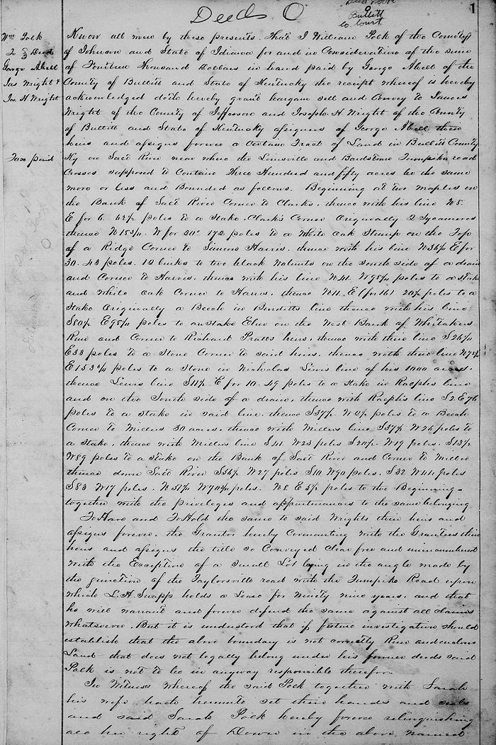
Know all men by these presents that I William Polk of the county of Johnson and state of Indiana for and in consideration of the sum of $1400 in hand paid by George Atwell of the county of Bullitt and state of Kentucky, the receipt whereof is hereby acknowledged, doth hereby grant, bargain, sell and convey to James Wright of the county of Jefferson and Joseph H. Wright of the county of Bullitt and state of Kentucky, assignees of George Atwell, their heirs and assigns forever a certain tract of land in Bullitt County, Kentucky on Salt River near where the Louisville and Bardstown Turnpike road crosses, supposed to contain 350 acres, be the same more or less and bounded as follows.
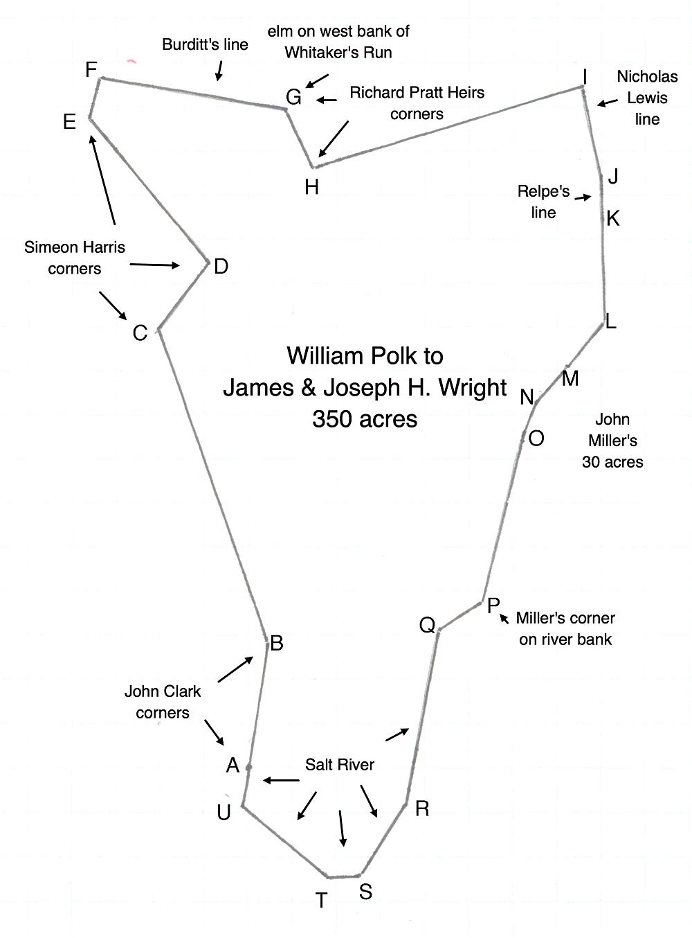
Beginning at [A] two maples on the bank of Salt River, corner to Clark's, thence with his line North 8° East for 6° 62 1/2 poles to at [B] a stake, Clark's corner, originally 2 sycamores, thence North 18 3/4° West for 20° 172 poles to at [C] a white oak stump on the top of a ridge, corner to Simeon Harris, thence with his line North 36 1/4° East for 30° 43 poles, 10 links to at [D] two black walnuts on the south side of a drain and corner to Harris, thence with his line North 41° West 98 1/4° poles to at [E] a stake and white oak, corner to Harris, thence North 11° East (for 16°) 20 1/2 poles to at [F] a stake, originally a beech in Burditt's line, thence with his line South 80 1/2° East 98 1/4 poles to at [G] an elm on the west bank of Whitaker's Run and corner to Richard Pratt's heirs, thence with their line South 26 1/4° East 33 poles to at [H] a stone, corner to said heirs, thence with their line North 72 3/4° East 153 3/4 poles to [I] a stone in Nicholas Lewis' line of his 1000 acres, thence Lewis' line South 11 1/2° East for 10° 49 poles to at [J] a stake in Raeplis' line and on the south side of a drain, thence with Raeplis' line South 2° East 76 poles to at [K] a stake in said line, thence 37 1/2° West 2 1/2 poles to at [L] a beech, corner to Miller's 30 acres, thence with Miller's line South 37 1/2° West 26 poles to at [M] a stake, thence with Miller's line South 41° West 23 poles, at [N] South 20 1/2° West 19 poles, at [O] South 13 1/2° West 89 poles to at [P] a stake on the bank of Salt River and corner to Miller, thence down Salt River South 56 1/2° West 27 poles, at [Q] South 10° West 90 poles, at [R] South 32° West 44 poles, at [S] South 83° West 17 poles, at [T] North 51 1/4° West 70 3/20 poles, at [U] North 8° East 5 1/2 poles to the beginning together with the privileges and appurtenances to the same belonging.
To have and to hold the same to said Wrights, their heirs and assigns forever, the grantor hereby covenanting with the grantees, their heirs and assigns the title so conveyed clear, free and unencumbered with the exception of a small lot lying in the angle made by the junction of the Taylorsville road with the Turnpike Road upon which L. H. Snapp holds a lease for 99 years, and that he will warrant and forever defend the same against all claims whatsoever. But it is understood that if future investigation should establish that the above boundary is not correctly run and encloses land that does not legally belong under his former deeds, said Polk is not to be in anyway responsible therefore.
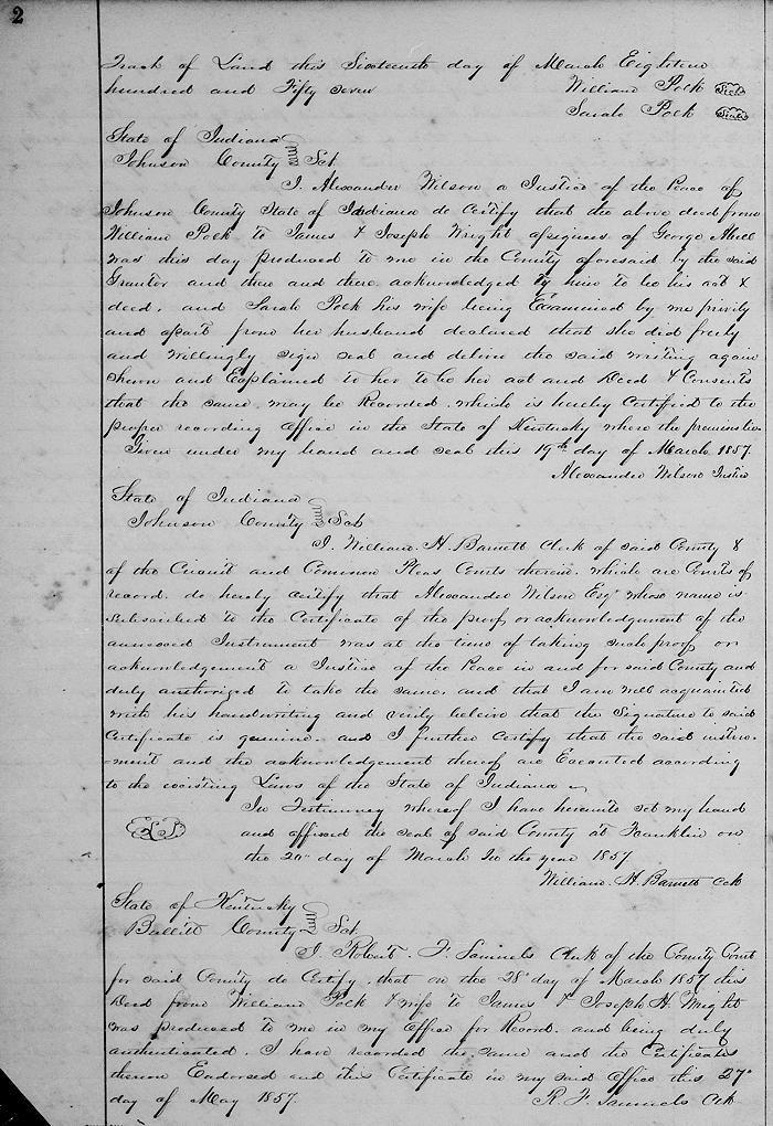
In witness whereof the said Polk together with Sarah his wife hath hereunto set their hands and seals, and said Sarah Polk hereby forever relinquishing all her right of dower in the above named tract of land this 16th day of March 1857. (signed by grantors)
If you, the reader, have an interest in any particular part of our county history, and wish to contribute to this effort, use the form on our Contact Us page to send us your comments about this, or any Bullitt County History page. We welcome your comments and suggestions. If you feel that we have misspoken at any point, please feel free to point this out to us.
The Bullitt County History Museum, a service of the Bullitt County Genealogical Society, is located in the county courthouse at 300 South Buckman Street (Highway 61) in Shepherdsville, Kentucky. The museum, along with its research room, is open 10 a.m. to 4 p.m. Monday through Friday. Saturday appointments are available by calling 502-921-0161 during our regular weekday hours. Admission is free. The museum, as part of the Bullitt County Genealogical Society, is a 501(c)3 tax exempt organization and is classified as a 509(a)2 public charity. Contributions and bequests are deductible under section 2055, 2106, or 2522 of the Internal Revenue Code. Page last modified: 21 Mar 2026 . Page URL: bullittcountyhistory.org/bchistory/polk-wrights.html