
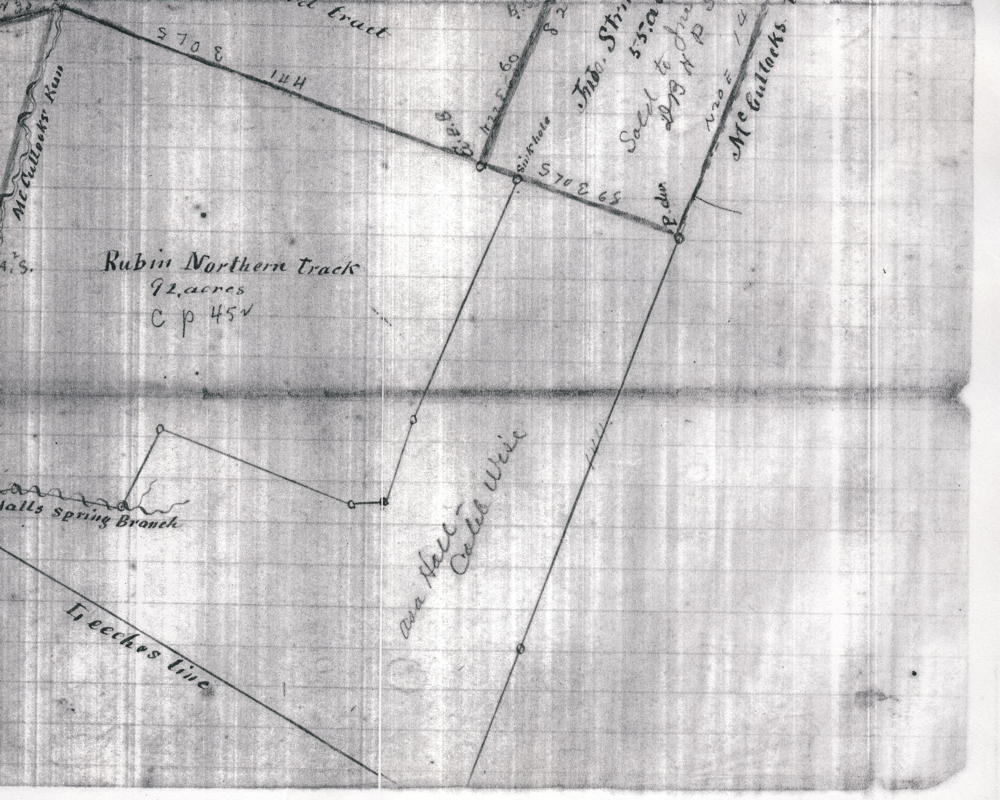
This plat drawing, found in the T. C. Carroll Plat Cabinet at the Bullitt County Clerk's Office, was drawn sometime after David Hall's will was probated in 1814, and different parts of his property deeded to various persons. This land is located in the vicinity of McCullough's Run which flows into the Salt River in eastern Bullitt County.
It is presented here as a reference for various other pages containing deeds that refer to parts of this property.
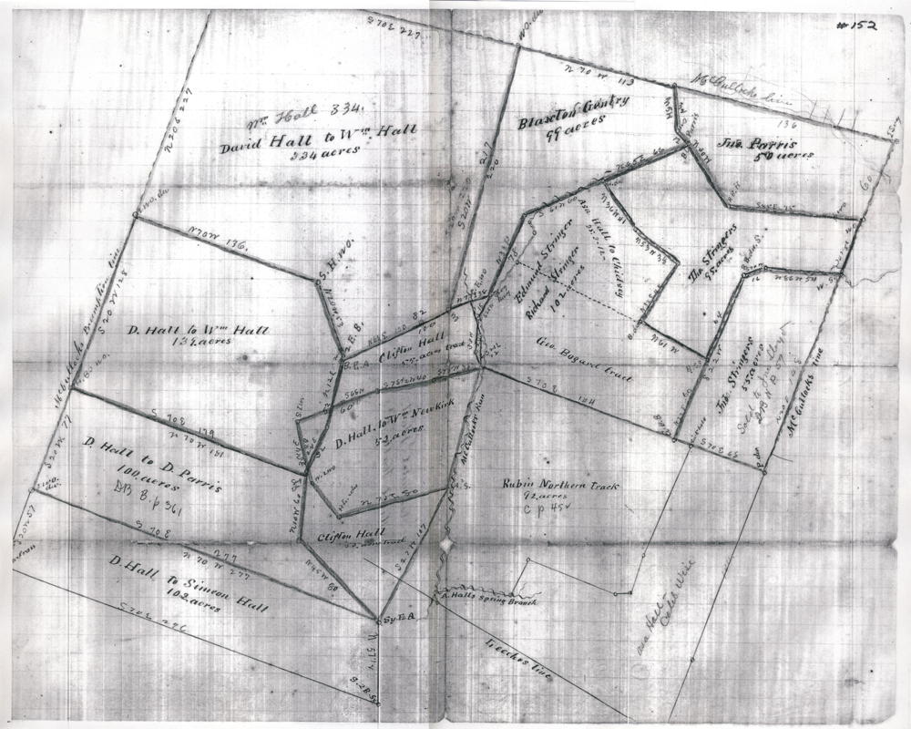
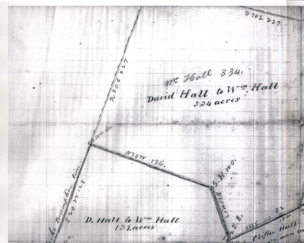
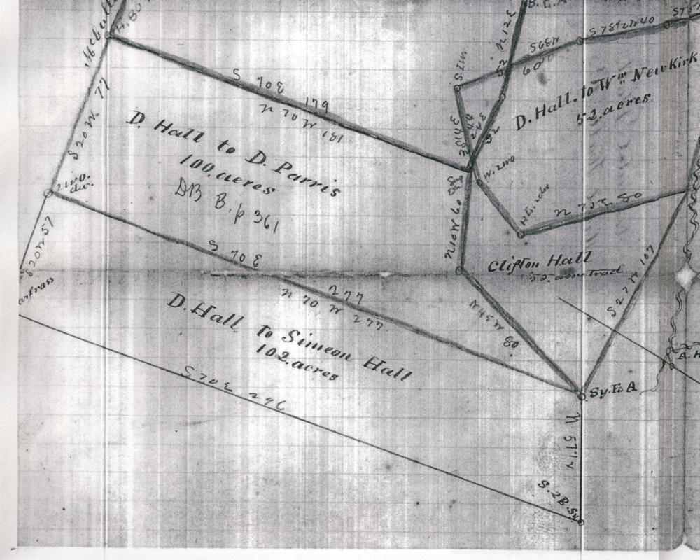
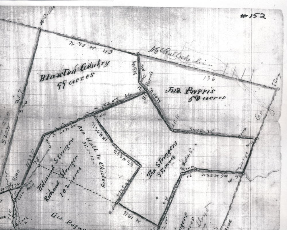
To make this plat easier to read, we have divided it up into four quarters which are presented below.
If you, the reader, have an interest in any particular part of our county history, and wish to contribute to this effort, use the form on our Contact Us page to send us your comments about this, or any Bullitt County History page. We welcome your comments and suggestions. If you feel that we have misspoken at any point, please feel free to point this out to us.
The Bullitt County History Museum, a service of the Bullitt County Genealogical Society, is located in the county courthouse at 300 South Buckman Street (Highway 61) in Shepherdsville, Kentucky. The museum, along with its research room, is open 10 a.m. to 4 p.m. Monday through Friday. Saturday appointments are available by calling 502-921-0161 during our regular weekday hours. Admission is free. The museum, as part of the Bullitt County Genealogical Society, is a 501(c)3 tax exempt organization and is classified as a 509(a)2 public charity. Contributions and bequests are deductible under section 2055, 2106, or 2522 of the Internal Revenue Code. Page last modified: 12 Sep 2024 . Page URL: bullittcountyhistory.org/bchistory/tccarroll-slide140-map152.html