
By 1865, both the Belmont Furnace (previously called the Crooked Creek Furnace) and the Nelson County Furnace were owned and operated by William Patterson, Henry Moore, and their associates. The following extensive deed transfers ownership of the furnaces and all related lands to Junius B. Alexander. We have inserted the original deed book page numbers for convenience.
Bullitt County Deed Book P, Pages 458-472
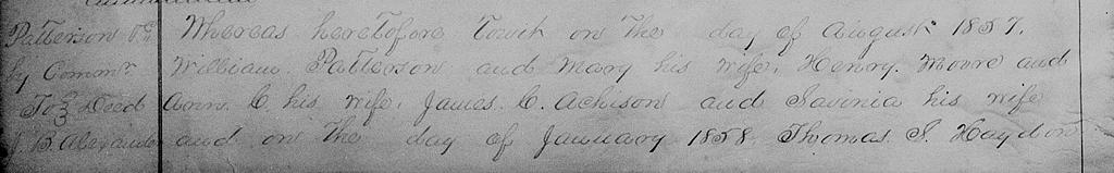
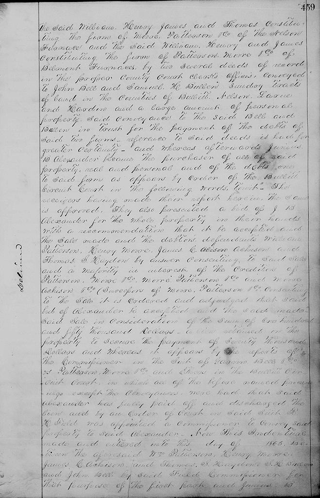
[page 458] Whereas heretofore to wit, on the __ day of August 1857, William Patterson and Mary his wife, Henry Moore and Ann C. his wife, James C. Achison and Savinia his wife, and on the __ day of January 1858, Thomas S. Haydon, [page 459] the said William, Henry, James and Thomas constituting the firm of Moore, Patterson & Co. of the Nelson Furnace, and the said William, Henry and James constituting the firm of Patterson, Moore & Co. of Belmont Furnaces by two several deeds of record in the proper county court clerk's offices, conveyed to John Bell and Samuel H. Bullen sundry tracts of land in the counties of Bullitt, Nelson, Larue and Hardin, and a large amount of personal property, said conveyance to the said Bell and Bullen in trust for the payment of the debts of said two firms - reference to said deeds is had for greater certainty - and whereas afterwards Junius B. Alexander became the purchaser of all of said property, real and personal, and of the debts one to said firms as appears by order of the Bullitt Circuit Court in the following words, to wit.
"The receivers having made their report herein, the sam is approved. They also presented a bid of J. B. Alexander for the whole property in their hands with a recommendation that it be accepted and the sale made and the debtors defendants William Patterson, Henry Moore, James C. Achison and Thomas S. Hayden by answer consenting to said sale, and a majority in interest of the creditors of Patterson, Moore & Co., Moore, Patterson & Co. and Moore, Achison & Co. (successors of Moore, Patterson & Co.) consenting to the sale, it is ordered and adjudged that said bid of Alexander be accepted and the sale made."
Said sale in consideration of the sum of $150,000, a lien retained on the property to secure the payment of $70,000, and whereas it appears by the reports of the commissioner in the suit of Garvin, Bell & Co. vs Patterson, Moore & Co. and others in the Bullitt Circuit Court in which all of the before named proceedings except the conveyances were had that said Alexander ahs fully paid off and discharged the lien and by an order of court in said suit R. H. Field was appointed a commissioner to convey said property to said Alexander.
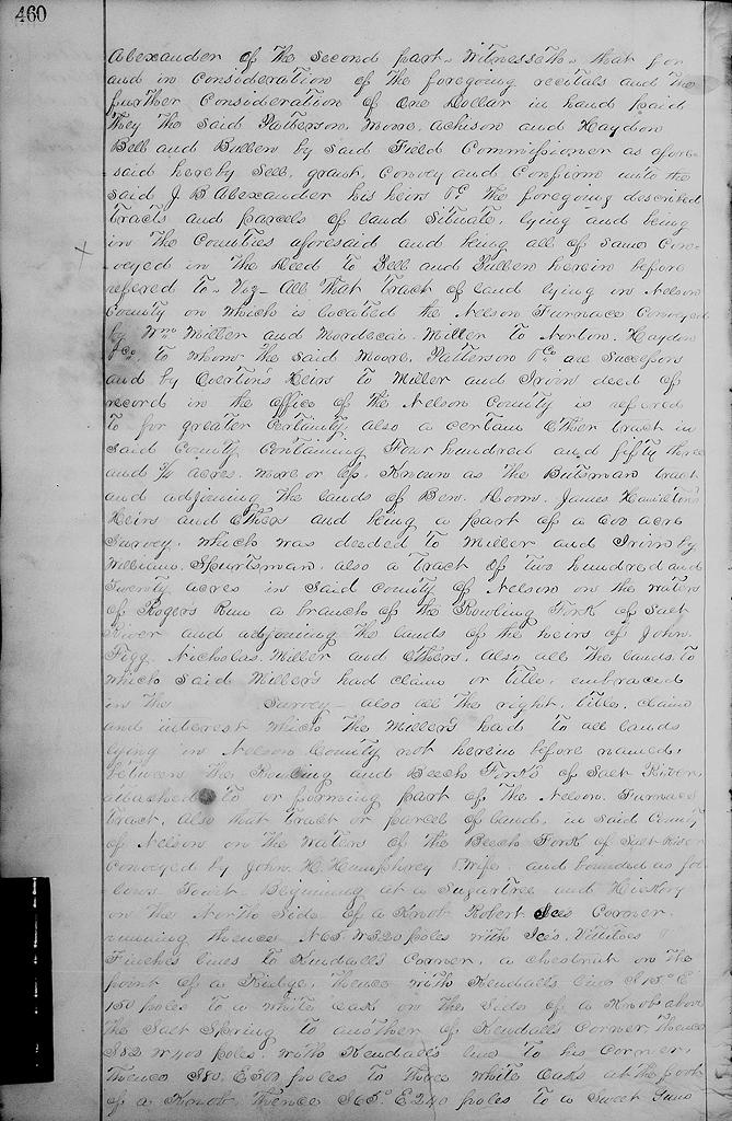
Now this indenture made and entered into this __ day of __ 1865 between the aforesaid William Patterson, Henry Moore, James C. Achison and Thomas S. Haydon, S. H. Bullons and John Bell by said Field, commissioner for that purpose of the first part and Junius B. [page 460] Alexander of the second part. Witnesseth that for and in consideration of the foregoing recitals and the further consideration of one dollar in hand paid the said Patterson, Moore, Achison and Haydon, Bell and Bullen by said Field, commissioner as aforesaid, hereby sell, grant, convey and confirm unto the said J. B. Alexander, his heirs &c the foregoing described tracts and parcels of land situate lying and being in the counties aforesaid, and being all of same conveyed in the deed to Bell and Bullen herein before refered to, viz.
All that tract of land lying in Nelson County on which is located the Nelson Furnace conveyed by William Miller and Mordecai Miller to Norton, Haydon & Co. to whom the said Moore, Patterson & Co. are successors, and by Overton's heirs to Miller and Irvin deed of record in the office of the Nelson County is referred to for greater certainty.
Also a certain other tract in said county containing 453 3/4 acres, more or less, known as the Butsman tract and adjoining the lands of Ben Doom, James Hamilton's heirs and others and being a part of a 600 acre survey which was deeded to Miller and Irvin by William Spurtsman.
Also a tract of 220 acres in said County of Nelson on the waters of Rogers' Run, a branch of the Rolling Fork of Salt River, and adjoining the lands of the heirs of John Figg, Nicholas Miller and others.
Also all the lands to which said Millers had claim or title embraced in the __ survey.
Also all the right, title, claim and interest which the Millers had to all lands lying in Nelson County not herein before named between the Rolling and Beech Forks of Salt River attached to or forming part of the Nelson Furnace's tract.
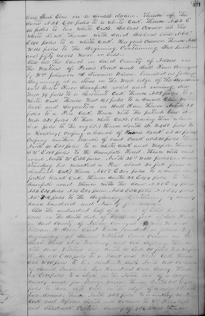
Also that tract or parcel of land in said County of Nelson on the waters of the Beech Fork of Salt River conveyed by John H. Humphrey and wife and bounded as follows, to wit. Beginning at a sugartree and hickory on the north side of a knob, Robert Ice's corner, running thence N 65° W 320 poles with Ice's, Vittitoe's, Finch's lines to Kendall's corner, a chestnut on the point of a ridge, thence with Kendall's line S 15° E 150 poles to a white oak on the side of a knob above the salt spring to another of Kendall's corners, thence S 82° W 400 poles with Kendall's line to his corner, thence S 80° E 300 poles to three white oaks at the foot of a knob, thence S 65° E 240 poles to a sweet gum [page 461] and red elm on a small drain, thence up the same N 28° E 20 poles to a white oak, thence N 52° E 46 poles to two white oaks, Beeler's corner at the white lick, thence with said Beeler's line N 65° E 140 poles to a white oak, Hagau's corner, thence N 20° W 100 poles to the beginning containing 550 acres more or less.
Also all the land in said county of Nelson on the waters of Price's Creek and Bull Run conveyed by William Johnson & Turner Wilson, bounded as follows. Beginning at a stone on the west edge of the Bardstown and Green River Turnpike road and running due West 94 poles to a chestnut oak, thence N 37 poles to a white oak, thence West 161 poles to a small elm, water beech and sugartree on Bull Run, thence North 89 poles to a pin oak, thence with the patent line due West 230 poles to three white oaks (leaving them about six poles to the right), thence South 1 1/2° W 450 poles to a hickory (crossing a branch of Price's Creek at 160 poles), crossing another branch of said creek at 320 poles, thence North 40° E 51 poles to a white oak and maple, thence S 70° E 199 poles to the turnpike road, thence with said road North 70° E 35 poles, North 26° W 130 poles (no corner standing but marked a pine abouit 20 feet from a chestnut oak), thence N 61° E 200 poles to a small double forked black oak, thence South 28° E 144 poles to the turnpike road, then with the same N 27° E 24 poles, N 52° E 34 poles, N 72° E 24 poles, N 52° E 36 poles, N 17° E 44 poles, N 11° W 16 poles to the beginning containing by survey 795 acres.
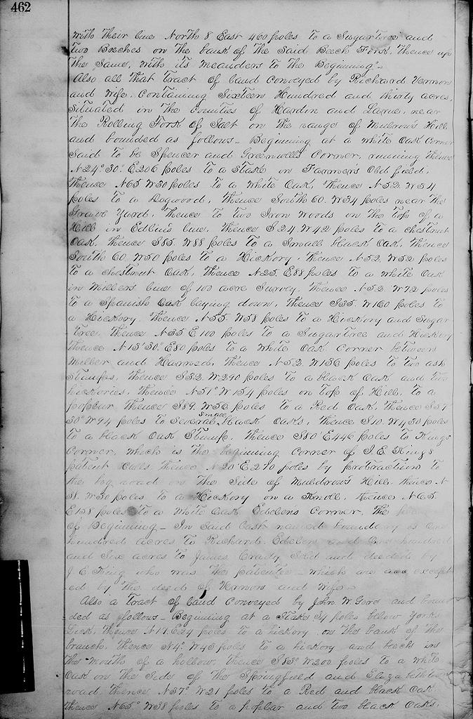
Also the undivided half of a tract of 1200 acres on the south side of the Beech Fork of Salt River in said county of Nelson conveyed by James M. and William H. Doom, said tract bounded as follows viz. Beginning at Samuel Vittitoe's lower corner on the Beech Fork at a mulberry and ash sapling, thence with said Vittitoe's line South 20° East 180 poles to a maple, thence S 80° E 100 poles to a black and white oak, thence S 26° W 95 poles to two chestnut oaks, northwest corner of Samuel Goodwin's 200 acre survey, thence S 14° E 170 poles to a stake in the north line of a large survey made for George Wilson, thence South 82° W 410 poles to three white oaks on the edge of a ridge between two drains, thence North 132 poles to a hickory, white oak and poplar, southeast corner to William Kendall and Shadrack Carter's survey of 456 acres, thence [page 462] with their line North 8° East 460 poles to a sugartree and two beeches on the bank of said Beech Fork, thence up the same with its meanders to the beginning.
Also all that tract of land conveyed by Richard Vernon and wife containing 1630 acres situated in the counties of Hardin and Larue, near the Rolling Fork of Salt on the range of Mulrow's Hill and bounded as follows. Beginning at a white oak, corner said to be Spencer and Greenwell's corner, running thence N 24°30" E 206 poles to a stake in Farmer's old field, thence N 65° W 30 poles to a white oak, thence N 52° W 34 poles to a dogwood, thence South 60° W 34 poles near the grave yard, thence to two ironwoods on the top of a hill in Edlin's line, thence S 24° W 42 poles to a chestnut oak, thence S 85° W 88 poles to a small black oak, thence South 60° W 50 poles to a hickory, thence N 52° W 52 poles to a chestnut oak, thence N 25° E 88 poles to a white oak in Miller's line of 100 acre survey, thence N 52° W 72 poles to a Spanish oak laying down, thence S 35° W 160 poles to a hickory, thence N 55° W 58 poles to a hickory and sugar tree, thence N 35° E 100 poles to a sugar tree and hickory, thence N 13°30" E 80 poles to a white oak, corner between Miller and Harned, thence N 52° W 136 poles to two ash stumps, thence S 32° W 290 poles to a black oak and two hickories, thence N 51° W 154 poles on top of hill to a poplar, thence S 89° W 56 poles to a red oak, thence S 57°30" W 94 poles to several small black oaks, thence S 10° W 430 poles to a black oak stump, thence S 80° E 446 poles to King's corner which is the beginning corner of J. E. King's patent calls, thence N 20° E 270 poles by protraction to the log road on the side of Muldrow's Hill, thence N 38° W 30 poles to a hickory on a knoll, thence N 65° E 158 poles to a white oak, Edden's corner, the said beginning. In said last named boundary is one hundred acres to Richard Edelen and one hundred and six acres to James Crady, sold and deeded by J. E. King who was the patentee which are excepted by the deed of Vernon and wife.
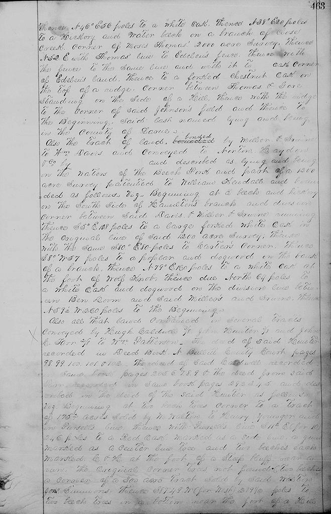
Also a tract of land conveyed by John W. Gore and bounded as follows. Beginning at a stake 34 poles below York's Lick, thence N 17° W 24 poles to a hickory on the bank of the branch, thence N 4° W 43 poles to a hickory and beech in the mouith of a hollow, thence S 83° W 200 poles to a white oak on the side of the Springfield and Elizabethtown road, thence N 37° W 21 poles to a red and black oak, thence N 65° W 38 poles to a poplar and two black oaks, [page 463] thence N 46° E 56 poles to a white oak, thence N 38° E 20 poles to a hickory and water beech on a branch of Close Creek, corner of Moses Thomas' 2000 acre survey, thence N 52° E with Thomas' line to Edeleu's fence, thence with the fence to the same line and with it to __ oak corner of Edebue's land, thence to a forked chestnut oka on the top of a ridge, corner between Thomas and Gore standing on the side of a hill, thence with the ridge to the corner of said Johnson's field and thence to the beginning, said last named lying and being in the county of Larue.
Also the tract of land bonded by Miller & Irvine to William Davis and conveyed to Nerton Haydon & Co. by __ and described as lying and being on the waters of the Beech Fork and part of a 1200 acre survey patented to William Kendall and bounded as follows viz. Beginning at a beech and hickory on the south side of Hamilton's branch and division corner between said Davis & Miller & Irvine, running thence S 5° E 108 poles to a large forked white oak in the original line of said 1200 acre survey, thence with the same S 89° E 80 poles to Carter's corner, thence with the same S 80° W 57 poles to a poplar and dogwood on the bank of a branch, thence N 79° E 160 poles to a white oak at the fork of Wolf Knob, thence due North 64 poles to a white oak and dogwood on the division line between Ben Doom and said Miller's and Irvine, thence N 9 1/2° W 260 poles to the beginning.
Also all that land contained in several tracts conveyed by Hugh Caldwell (3/8), John Hunter (3/8) and John C. Tarr (2/8) to William Patterson. The deed of said Hunter recorded in Deed Book N, Bullitt County Court, pages 98, 99, 100, 101 & 102. The deed of said Caldwell recorded in same book, pages 205-209, & the deed from said Tarr recorded in same book, pages 292-295, and described in the deed of the said Hunter as follows viz.
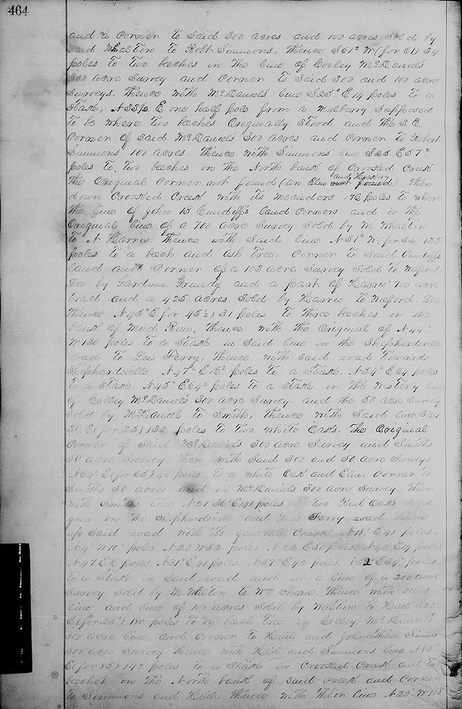
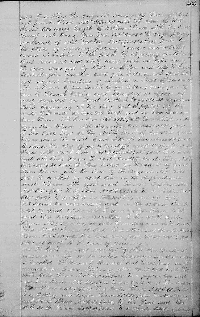
Beginning at two beech trees, corner to a tract of 175.5 acres sold by M. Walton to Henry Younger and in Pursell's line, thence with Pursell's line S 11.5° E (for 10°) 246 poles to a red oak marked as a side line, a gum marked as a center line tree and two beeches each marked C & H at the foot of a steep cliff near a run, the original corner trees not found (two beeches), a corner of a 300 acre tract sold by said Walton to Jonathan Simmons, thence S 87°49' W (for West) 219.5 poles to two beech trees in a bottom near the foot of a hill [page 464] and a corner to the said 300 acres and 100 acres sold by said Walton to Robert Simmons, thence S 61.5° W (for 61°) 34 poles to two beeches in the line of Cooley McDaniel's 300 acre survey and corner to the said 300 and 100 acre surveys, thence with McDaniel's line S 25° E 14 poles to a stake, N 33.5° E one half pole from a mulberry, supposed to be where two beech trees originally stood and the southeast corner of said McDaniel's 300 acres and corner to Robert Simmons' 100 acres, thence with Simmons' line S 25° E 57.5 poles to two beeches on the north bank of Crooked Creek, the original corner not found (an elm and hickory) then down Crooked Creek with its meanders 196 poles to where the line of John B. Cundiff's land corners and is the original line of a 700 acre survey sold by M. Whalton to N. Harris, thence with said line N 51.5° W (for 52°) 135 poles to a beech and ash trees corner to the said Cundiff's land and a corner of a 103 acre survey sold to Wilford Lee by Gardum Grundy and a part of Harris's 700 acre tract and a 425 acre tract sold by Harris to Wilford Lee, thence N 45° E (for 45.5°) 31 poles to 3 beeches on the bank of Mud Run, thence with the original of N 44.5° W 130 poles to a stake in said line in the Shepherdsville road to Lee's Ferry, thence with said road towards Shepherdsville N 47.5° E 16.5 poles to a stake, N 54.5° E 64 poles to a stake, N 45.5° E 64.5 poles to a stake in the westwardly line of Colley McDaniel's 300 acre survey and the 50 acre survey sold by McDaniel to Smith, then with said line S 21°36" (for 25°) 132 poles to two white oaks, the original corner of said McDaniel's 300 acre survey and Smith's 50 acre survey, then with said 300 and 50 acre surveys N 64° E (for 65°) 46 poles to a white oak and elm corner to Smith's 50 acres and in McDaniels' 300 acre survey, then with Smith's line N 21°36" E 141 poles to two red oaks and gum on the Shepherdsville and Lee's Ferry road, thence up said road with its general course N 18.5° E 48 poles, N 4.5° W 10.5 poles, N 23° W 52 poles, N 22° E 50 poles, N 40° E 14 poles, N 47° E 16 poles, N 31° E 41 poles, N 57.5° E 42 poles, N 52.5° E 34.5 poles, to a stake in said road and in a line of a 200 acre survey sold by M. Walton to William Shain, thence with said line and line of 100 acres sold by Walton to Hail S 23.5° E (for 25°) 180 poles to a beech tree in Colley McDaniel's 300 acres line and corner to Hail and Jonathan Simmons' 300 acre survey, thence with Hail and Simmons' line N 85.5° E (for 85°) 142 poles to a stake in Crooked Creek and two beeches on the north bank of said creek and corner to Simmons and Hail, thence with their line N 20° W 118 [page 465] poles to a stone, the original corner of three beeches not found, thence N 85.5° E (for 80°) with the line of William Shain's 200 acres bought of Walton, thence with the line thereof and Henry Younger's 175.5 acres (the Engle place) purchased of said Walton N 85.5° (for 85°) E 146 poles to the place of beginning, passing Younger's and Shain's corner at 23 poles to the place of beginning containing 860 acres more or less and being the same conveyed by Atkinson H. Lee and wife to Hugh Caldwell, John Hunter and John C. Tarr out of which last named boundary is excepted a tract of 216 acres (the interest of one fourth of John C. Tarr) conveyed by him to Harriet Collings and bounded as shown by deed recorded in Deed Book N, Pages 619-620 as follows, to wit. Beginning at two elms and a poplar on the southwest side of Crooked Creek and in Mrs. Collings line, thence with her line S 65° W 178 poles to a stake north of an elm, thence with Simmons' line S 25° W 57.5 poles to two beech trees on the North bank of Crooked Creek thence down the said creek with its meanders 196 poles to where the line of John B. Cundiff's land crosses the same, thence with said line N 51.5° W (for 52°) 135 poles to a beech and ash trees corner to said Cundiff's land, thence N 45° E (for 45.5°) 31 poles to three beeches on the bank of Mud Run, thence with the line of the original N 44.5° W 130 poles to a stake in said line in the Shepherdsville road, thence with said road towards Shepherdsville N 47.5° E 16/5 poles to a stake, N 54.5° E 64 poles to a stake N 45.5° E 64.5 poles to a stake in the westerly line of Colly McDaniels' 300 acre survey and in the 50 acre tract sold by said McDonald to James Smith, thence with said line S 23.5° E (for 25°) 132 poles to two white oaks thence N 64° E (for 65°) 46 poles to an elm and white oak thence N 21°36" W 10 poles 17.5 links to a stake and three hickories thence N 75° E 178 poles to a stake in a field, thence S 25° E 24 poles, 17.5 links to the place of beginning.
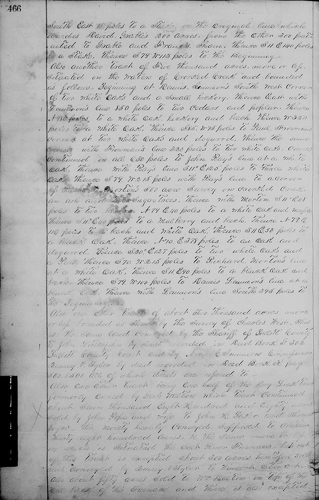
Also the tracts in said described of about 200 acres more or less on the waters of Crooked Creek on which is located the Belmont Furnace and machinery, and bounded as follows. Beginning at a black oak & two white oaks, thence N 11° W 324.6 poles to a poplar, elm and sugar tree, thence N 79° E 40 poles to an oak and two sugar trees, thence S 11° E 48 poles to a beech, thence N 79° E 40 poles to a hickory and maple, thence S 11° E 40 poles to a mulberry and beech, thence N 79° E 33 poles to two pines and two white oaks, thence S 11° E 48 poles to a stake thence nearly [page 466] southeast 18 poles to a stake on the original line which divides David Grable's 200 acres from the other 300 patented to Grable and Francis Shain, thence S 11° E 140 poles to a stake, thence S 79° W 113 poles to the beginning.
Also another tract of 5000 acres more or less situate on the waters of said Crooked Creek, bounded as follows. Beginning at Dennis Lemmon's southwest corner of two white oaks and a small hickory, thence East with Lemmon's line 850 poles to two cedars and poplar, thence N 980 poles to a white oak, hickory and beech, thence W 350 poles to a white oak, thence S 85° W 75 poles to Paul Froman's corner at two white oaks and dogwood, thence the same course with Froman's line 320 poles to two white oaks course continued in all 630 poles to John Ray's line at a white oak, thence with Ray's line S 11° E 125 poles to three white oaks, thence S 79° W 215 poles with Ray to a corner of Richard Morton's 500 acre survey on Crooked Creek, an ash and two sugar trees, thence with Morton S 11° E 48 poles to two beeches, N 79° E 40 poles to a white oak and maple, thence S 11° E 40 poles to a mulberry and beech, thence N 79° E 116 poles to a beech and white oak, thence S 11° E 50 poles to a black oak, thence N 70° E 378 poles to an oak and dogwood, thence S 20° E 127 poles to two white oaks and a pine, thence S 70° W 215 poles to Richard Morton's line at a white oak, thence S 11° E 90 poles to a black oak and beech, thence S 79° W 100 poles to Dennis Lemmons's line at a black oak, thence with said Lemmon's line South 395 poles to the beginning.
Also one other tract of about 2000 acres more or less bounded as shown by the survey of Charles West This is the same land conveyed by the sheriff of Bullitt County to John Littlejohn by deed recorded in same office in deed book G 302 Bullitt County Court and by Noah C Summers, commissioner Quirey & Tyler by deed recorded in Deed Book K, page 500-501, all of which deeds are referred to.
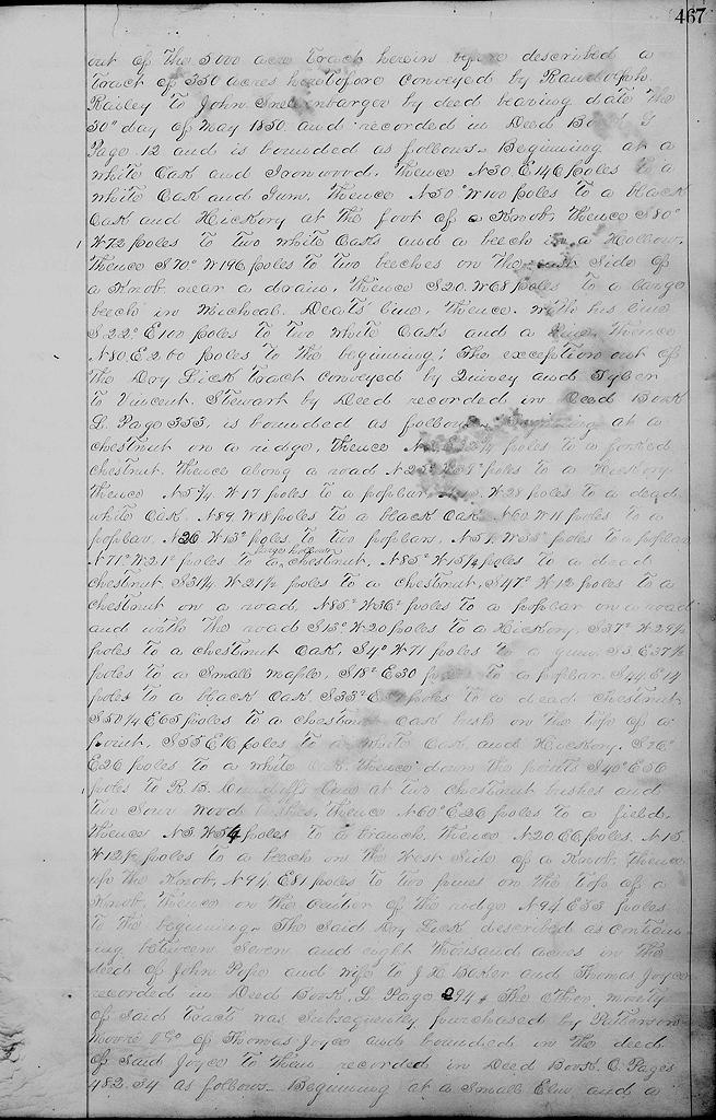
Also one other tract being one half of the Dry Lick tract, formerly owned by General Walton, which tract contained about 7880 acres sold by John Pope and wife to John H. Baker and Thomas Joyce, the moiety hereby conveyed, supposed to contain 3800 acres, be the same more or less, on which is situated the Salt River Furnace, but out of this tract is excepted about 300 acres before sold and conveyed by Quirey and Tyler to Vincent Stewart, also fifty acres sold to William Dalton on top of the hill back of the furnace and there is also excepted [page 467] out of the 5000 acre tract herein before described a tract of 350 acres heretofore conveyed by Randolph Railey to John Snellenbarger by deed bearing date the 30th day of May 1850, and recorded in Deed Book G, page 12 and is bounded as follows. Beginning at a white oak and ironwood, thence N 30° E 146 poles to a white oak and gum, thence N 50° W 100 poles to a black oak and hickory at the foot of a knob, thence S 80° W 72 poles to two white oaks and a beech in a hollow, thence S70° W 196 poles to two beeches on the east side of a knob near a drain, thence S 20° W 68 poles to a large beech in Michael Deats' line, thence with his line S 22° E 100 poles to two white oaks and a pine, thence N 80° E 200 poles to the beginning.
The exception out of the Dry Lick tract conveyed by Quirey and Tyler to Vincent Stewart by deed recorded in Deed Book L, Page 353, is bounded as follows. Beginning at a chestnut on a ridge, thence N 3° E 32 2/4 poles to a forked chestnut, thence along a road N 25° W 39.5 poles to a hickory thence N 5 3/4° W 17 poles to a poplar, N 15° W 28 poles to a dead white oak, N 89° W 18 poles to a black oak, N 60° W 11 poles to a poplar, N 26° W 12.5 poles to two poplars, N 57° W 33.5 poles to a poplar N 71.5° W 21° poles to a large hollow chestnut, N 85.5° W 15 1/4 poles to a dead chestnut, S 31 1/4° W 21.5 poles to a chestnut, S 47.6° W 12 poles to a chestnut on a road, N 85.5° W 36.5 poles to a poplar on a road, and with the road S 13° W 20 poles to a hickory, S 37.5° W 29.5 poles to a chestnut oak, S4° W 71 poles to a gum, S 3° E 37.5 poles to a small maple, S 18.5 E 30 poles to a poplar, S 44° E 14 poles to a black oak, S 33.5° E 57 poles to a dead chestnut S 50 1/4° E 65 poles to a chestnut oak bush on the top of a point, S 55° E 16 poles to a white oak and hickory, S 26° E 26 poles to a white oak, thence down the points S 40° E 56 poles to R. B. Cundiff's line at two chestnut bushes and two sour wood bushes, thence N 60° E 26 poles to a field, thence N 3° W 54 poles to a branch, thence N 20° E 6 poles, N 15° W 12.5 poles to a beech on the west side of a knob, thence up the knob, N 9 1/4° E 81 poles to two pines on the top of a knob, thence on the center of the ridge N 9 1/4° E 33 poles to the beginning.
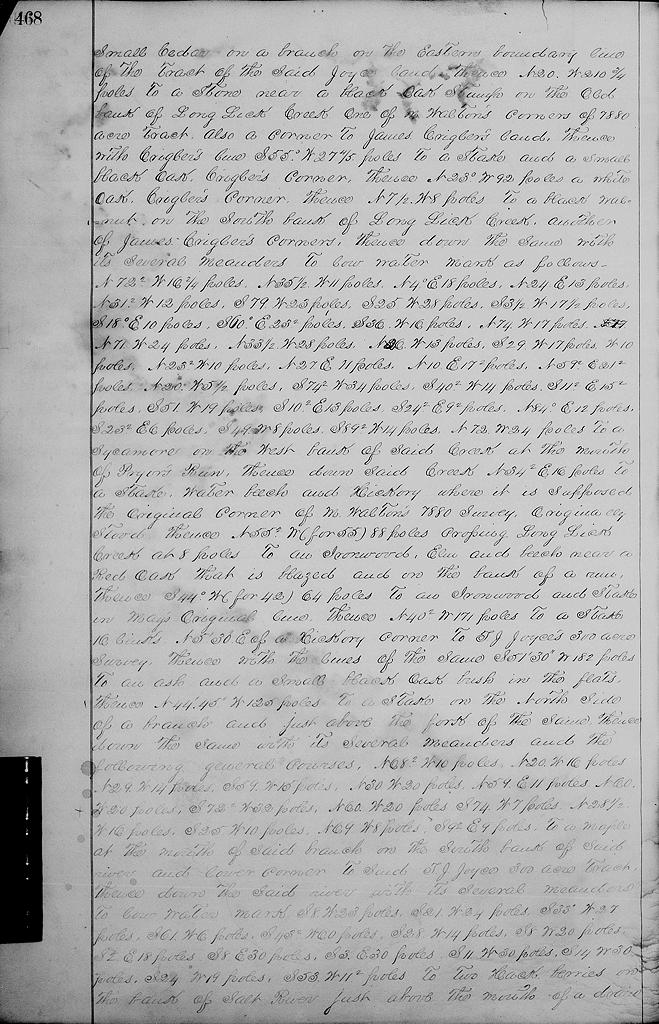
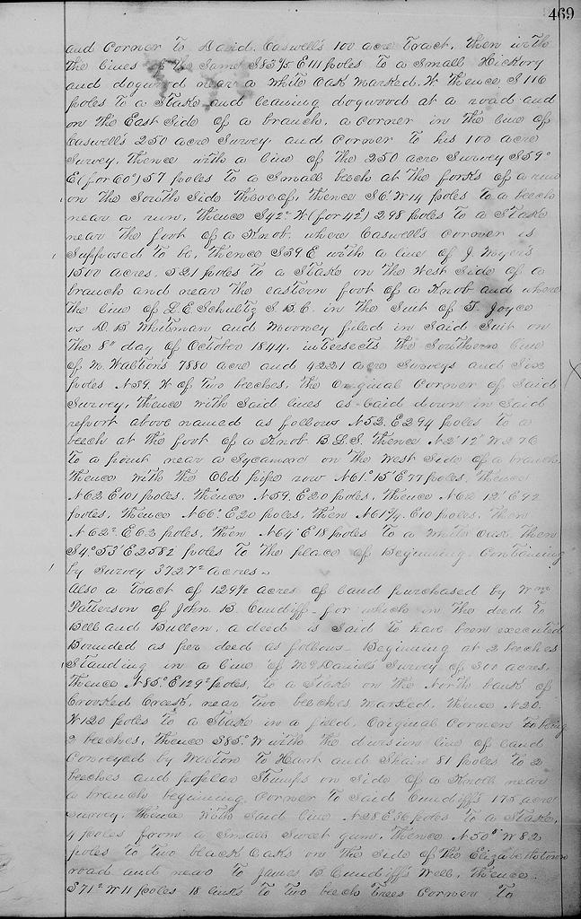
The said Dry Lick, described as containing between seven and eight thousand acres in the deed of John Pope and wife to J. H. Baker and Thomas Joyce recorded in Deed Book L, Page 294. The other moiety of said tract was subsequently purchased by Patterson, Moore & Co. of Thomas Joyce and bounded in the deed of said Joyce to them recorded in Deed Book O, Pages 482-4 as follows. Beginning at a small elm and a [page 468] small cedar on a branch on the eastern boundary line of the tract of the said Joyce land, thence N 20° W 210 3/4 poles to a stone near a black oak stump on the old bank of Long Lick Creek, one of M. Walton's corners of 7880 acre tract, also a corner to James Crigler's land, thence with Crigler's line S 55° W 27 4/5 poles to a stake and a small black oak, Crigler's corner, thence N 23° W 92 poles a white oak, Crigler's corner, thence N 7 1/2° W 8 poles to a black walnut on the south bank of Long Lick Creek, another of James Crigler's corners, thence down the same with its several meanders to low water mark as follows: N 72.5° W 16.5 poles, N 35.5° W 11 poles, N 4° E 18 poles, N 24° E 13 poles, N 31.5° W 12 poles, S 79° W 23 poles, S 25° W 28 poles, S 3.5° W 17.5 poles, S 18° E 10 poles, S 60° E 23.5 poles, S 36° W 16 poles, N 74° W 17 poles, N 71° W 24 poles, N 33.5° W 28 poles, N 26° W 13 poles, S 29° W 17 poles, West 10 poles, N 23.5° W 10 poles, N 27° E 11 poles, N 10° E 17.5 poles, N 59.5° E 21.5 poles, N 20° W 5.5 poles, S 74.5° W 34 poles, S 40.5° W 14 poles, S 11.5° E 15.5 poles, S 51° W 19 poles, S 10.5° E 13 poles, S 24.5° E 9.5 poles, N 84° E 12 poles, S 23.5° E 6 poles, S 49° W 8 poles, S 89.5° W 14 poles, N 72° W 24 poles to a sycamore on the west bank of said creek at the mouth of Pryor's Run, thence down said creek N 34.5° E 16 poles to a stake, water beech and hickory where it is supposed the original corner of M. Walton's 7880 survey originally stood, thence N 55.5° (for 55°) 88 poles crossing Long Lick Creek at 8 poles to an ironwood, elm and beech near a red oak that is blazed and on the bank of a run, thence S 44° W (for 42°) 64 poles to an ironwood and stake in May's original line, thence N 40.5° W 171 poles to a stake 16 links, N 5°30" E of a hickory corner to T. J. Joyce's 300 acre survey, thence with the lines of the same S 51°30" W 182 poles to an ash and a small black oak bush in the flats, thence N 44°45" W 125 poles toa stake on the north side of a branch and just above the fork of the same, thence down the same with its several meanders and the following general courses. N 68.5° W 10 poles, N 20° W 16 poles, N 29° W 14 poles, S 59° W 15 poles, N 30° W 20 poles, N 59° E 11 poles, N 60° W 20 poles, S 72° W 32 poles, N 60° W 20 poles, S 74° W 7 poles, N 28.5° W 16 poles, S 25° W 10 poles, N 69 W 8 poles, S 92 E 9 poles, to a maple at the mouth of said branch on the south bank of said river and lower corner to said T. J. Joyce 300 acre tract, thence down the said river with its several meanders to low water mark, S 8° W 23 poles, S 21° W 24 poles, S 33° W 27 poles, S 61° W 6 poles, S 43.5° W 60 poles, S 28° W 14 poles, S 8° W 20 poles, S 2° E 18 poles, S 8° E 30 poles, S 3° E 30 poles, S 11° W 30 poles, S 14° W 30, poles, S 24° W 19 poles, S 53° W 11.5 poles to two hackberries on the bank of Salt River just above the mouth of a drain [page 469] and corner to David Caswell's 100 acre tract, then with the lines of the same S 83 4/5° E 111 poles to a small hickory and dogwood near a white oak marked W, thence South 116 poles to a stake and leaning dogwood at a road and on the east side of a branch, a corner in the line of Caswell's 250 acre survey, and corner to his 100 acre survey, thence with a line of the 250 acre survey S 59° E (for 60°) 57 poles to a small beech at the forks of a run on the south side thereof, thence S 6° W 14 poles to a beech near a run, thence S 42.5° W (for 42°) 298 poles to a stake near the foot of a knob where Caswell's corner is supposed to be, thence S 39° E with a line of J. Myers' 1500 acres, 521 poles to a stake on the west side of a branch and near the eastern foot of a knob and where the line of L. E. Schultz S.B.C. in the suit of T. Joyce vs D. B. Whitman and Mooney filed in said suit on the 8th day of October 1844 intersects the southern line of M. Walton's 7880 acre and 4221 acre surveys and six poles N 39° W of two beeches, the original corner of said survey, thence with said lines as laid down in said report above named as follows N 52° E 294 poles to a beech at the foot of a knob B.L.S., thence N 2°12" W 276 to a point near a sycamore on the west side of a branch, thence with the old pipe row N 61°15" E 77 poles, thence N 62° E 101 poles, thence N 59° E 20 poles, thence N 62°12" E 92 poles, thence N 66° E 20 poles, then N 61 3/4° E 10 poles, then N 62.5° E 62 poles, then N 64° E 18 poles to a white oak, then S 4°53" E 2582 poles to the place of beginning, containing by survey 3727.5 acres.
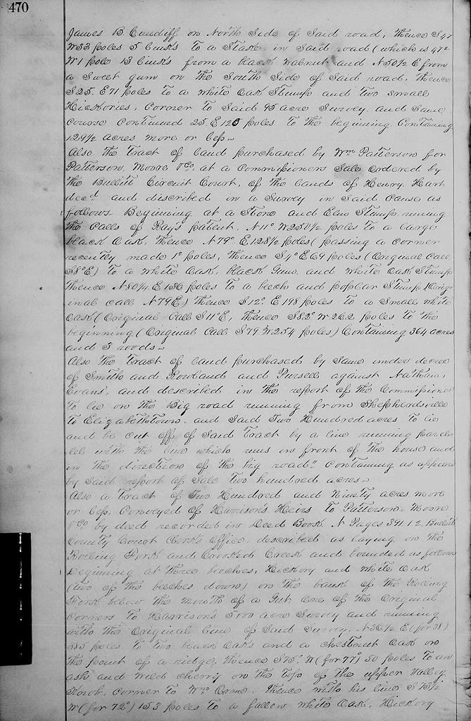
Also a tract of 129 1/2 acres of land purchased by William Patterson of John B. Cundiff for which in the deed to Bell and Bullen a deed is said to have been executed, bounded as per deed as follows. Beginning at 2 beeches standing in a line of McDaniels' survey of 300 acres, thence N 85° E 129.5 poles to a stake on the north bank of Crooked Creek near two beeches marked, thence N 20° W 120 poles to a stake in a field, original corner being 2 beeches, thence S 85° W with the division line of land conveyed by Walton to Hart and Shain 81 poles to two beeches and poplar stumps on side of a knoll near a branch beginning corner to said Cundiff's 175 acres survey, thence with said line N 28° E 36 poles to a stake, 4 poles from a small sweet gum, thence N 50° W 82 poles to two black oaks on the side of the Elizabethtown road and near to James B. Cundiff's well, thence S 71.5° W 11 poles 18 links to two beech trees, corner to [page 470] James B. Cundiff on north side of said road, thence S 47° W 33 poles 5 links to a stake in said road (which is 47.5° W 1 pole 13 links from a black walnut and N 50.5° E from a sweet gum on the south side of said road), thence S 25° E 71 poles to a white oak stump and two small hickories, corner to said 95 acres survey and same course continued 25° E 120 poles to the beginning containing 129.5 acres more or less.
Also the tract of land purchased by William Patterson for Patterson, Moore & Co. at a commissioner's sale ordered by the Bullitt Circuit Court of the lands of Henry Hart dec'd and described in a survey in said cause as follows. Beginning at a stone and elm stump running the calls of Ray's patent, N 11° W 250.5 poles to a large black oak, thence N 79° E 128.5 poles (passing a corner recently made 1.5 poles), thence S 4° E 69 poles (original call S 8° E) to a white oak, black gum and white oak stump, thence N 80 1/4° E 136 poles to a beech and poplar stump (original call N 79° E), thence S 12° E 198 poles to a small white oak (original call S 11° E), thence S 82° W 262 poles to the beginning (original call S79° W 254 poles) containing 364 acres and three roods.
Also the tract of land purchased by same under decree of Smith and Rowland and Pursell against Nathan Evans, and described in the report of the commissioners to "lie on the big road running from Shepherdsville to Elizabethtown, and said 200 acres to lie and be cut off of said tract by a line running parallel with the line which runs in front of the house and in the direction of the big road" containing as appears by said report of sale 200 acres.
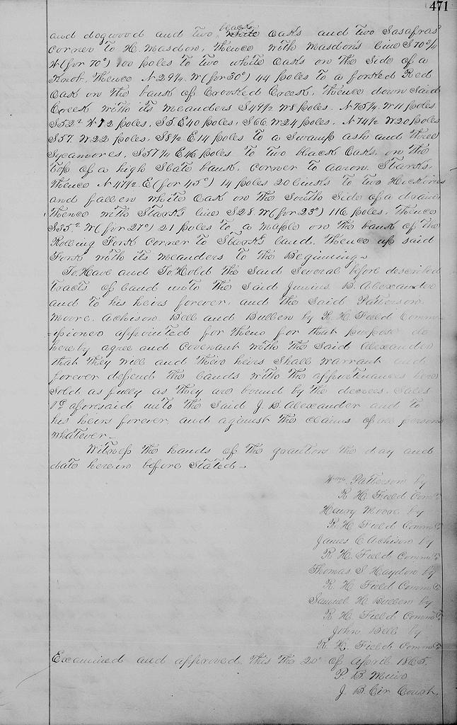
Also a tract of 290 acres, more or less, conveyed of Harrison's heirs to Patterson, Moore & Co. by deed recorded in Deed Book N, Pages 391-2, Bullitt County Court Clerk's office, described as laying on the Rolling Fork and Crooked Creek and bounded as follows. Beginning at three beeches, hickory and white oak (two of the beeches down) on the bank of the Rolling Fork below the mouth of a gut, one of the original corners to Harrison's 5000 acre survey and running with the original line of said survey N 36.5° E (for 38°) 385 poles to two black oaks and a chestnut oak on the point of a ridge, thence S 75° W (for 77°) 50 poles to an ash and wild cherry on the top of the upper valley knob, corner to William Orme, thence with his line S 73.5° W (for 72°) 153 poles to a fallen white oak, hickory [page 471] and dogwood and two white oaks and two sasafras, corner to H. Masdon, thence with Masdon's line S 70 3/4° W (for 70°) 100 poles to two white oaks on the side of a knob, thence N 29 1/4° W (for 30°) 44 poles to a forked red oak on the bank of Crooked Creek, thence down said creek with its meanders S 49.5° W 8 pole, N 75 1/4° W 11 poles, S 52.5° W 12 poles, S 5° E 40 poles, S 66° W 24 poles, N 74.5° W 20 poles, S 57° W 22 poles, S 8.5° E 14 poles to a swamp ash and three sycamores, S 57 1/2° E 46 poles to two black oaks on the top of a high slate bank, corner to Aaron Stark's, thence N 47.5° E (for 45°) 14 poles 20 links to two hickories and fallen white oak on the south side of a drain, thence with Stark's line S 28° W (for 23°) 116 poles, thence S 35.5° W (for 27°) 21 poles to a maple on the bank of the Rolling Fork, corner to Stark's land, thence up said fork with its meanders to the beginning.
To have and to hold the said several before described tracts of land unto the said Junius B. Alexander and to his heirs forever, and the said Patterson, Moore, Achison, Bell and Bullen by R H. Field, commissioner appointed for them for that purpose, do hereby agree and covenant with the said Alexander that they will and their heirs shall warrant and forever defend the lands with the appurtenances here sold as fully as they are bound by the decrees, sales &c aforesaid unto the said J. B. Alexander and to his heirs forever, and against the claims of all persons whatever.
Witness the hands of the grantors the day and date herein before stated. (Signatures of grantors by commissioner.)
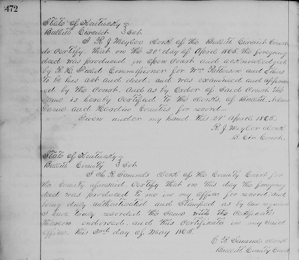
[page 472] Acknowledgements of R. J. Meyler, clerk of Bullitt Circuit Court, and C. R. Samuels, clerk of Bullitt County Court.
The Bullitt County History Museum, a service of the Bullitt County Genealogical Society, is located in the county courthouse at 300 South Buckman Street (Highway 61) in Shepherdsville, Kentucky. The museum, along with its research room, is open 10 a.m. to 4 p.m. Monday through Friday. Saturday appointments are available by calling 502-921-0161 during our regular weekday hours. Admission is free. The museum, as part of the Bullitt County Genealogical Society, is a 501(c)3 tax exempt organization and is classified as a 509(a)2 public charity. Contributions and bequests are deductible under section 2055, 2106, or 2522 of the Internal Revenue Code. Page last modified: 04 Sep 2025 . Page URL: bullittcountyhistory.org/bchistory/patterson-etc-jbalexander.html