
On 1 Jan 1851, Emory Low, a Louisville merchant sold the following tracts to Hugh Caldwell and John Hunter. The tracts included half of the 7880 acres sold by John Pope and wife to John H. Baker and Thomas Joyce that included the Salt River furnace, 200 acres that included the Crooked Creek furnace, the 5000 acre Railey tract, and the 2000 acre Charles West tract.
Bullitt County Deed Book M, Pages 285-286
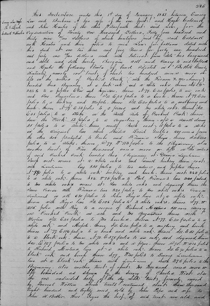
This indenture made this 1st day of January 1851, between Emory Low and Barbara A. his wife of the one part, and Hugh Caldwell and John Hunter of the other. Witnesseth that said Low for the consideration of $21,000, $4,439 of which heretofore paid by said Caldwell and Hunter and their notes to said Low for balance dated with this deed at one, to, three and four years for $4,441.13 each with interest from date, has bargained and sold and doth hereby bargain, sell and convey to said Caldwell and Hunter the following tracts of land situated in Bullitt County, Kentucky, namely one tract of about 200 acres more or less on the waters of Crooked Creek (with the furnace and machinery) bounded thus:
Beginning at a black oak & two white oaks, thence N 11° W 324.6 poles to a poplar, elm and sugar tree, thence N 79° E 40 poles to an oak and two sugar trees, thence S 11° E 48 poles to a beech, thence N 79° E 40 poles to a hickory and maple, thence S 11° E 40 poles to a mulberry and beech, thence N 79° E 33 poles to two pines and two white oaks, thence S 11° E 48 poles to a stake on the south side of Crooked Creek, thence down the creek 13 poles to a sugar tree, thence up a small drain 48 poles to a stake, thence nearly southeast 18 poles to a stake on the original line which divides David Grable's 200 acres from the other 300 acres, patented to Grable and Francis Shain, thence S 11° E 140 poles to a stake, thence S 79° W 113 poles to the beginning.
Also another tract of 5000 acres more or less on the waters of said Crooked Creek, bounded this: Beginning at Dennis Lenham's southwest corner at two white oaks and small hickory, thence East with Lenham's line 850 poles to two cedars and a poplar, thence North 980 poles to a white oak, hickory and beech, thence West 350 poles to a white oak, thence S 85° W 75 poles to Paul Froman's corner at two white oaks and a dogwood, thence the same course with Froman's line 320 poles to two white oaks course continued in all 630 poles to John Ray's line at a white oak, thence with Ray's line S 11° E 125 poles to three white oaks, thence S 79° W 215 poless with Ray to a corner of Richard Morton's 500 acre survey on Crooked Creek an ash and two sugar trees, thence with Morton S 11° E 48 poles to two beeches, thence N 79° E 40 poles to a white oak and maple, thence S 11° E 40 poles to a mulberry and beech, thence N 79° E 116 poles to a beech and white oak, thence S 11° E 50 poles to a black oak, thence N 70° E 378 poles to an oak and dogwood, thence S 20° E 127 poles to two white oaks and a pine, thence S 70° W 215 poles to Richard Morton's line at a white oak, thence S 11° E 90 poles to a black oak and beech, thence S 79° W 100 poles to Dennis Lenham's line at a black oak, thence with said Lenham's line South 395 poles to the beginning.
Also another tract of about 2000 acres more or less bounded as shown by the survey of Charles West, the said 2000 acres was conveyed to said Quirey & Tyler by N. C. Summers, commissioner, by deed dated 15th April 1846 and recorded in the clerk's office of Bullitt County.
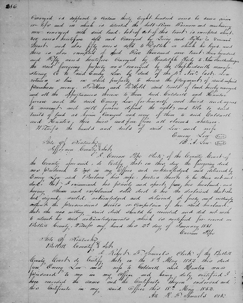
Also the one undivided half of the Dry Lick tract, formerly owned by General Walton, which tract contained about 7880 acres sold by John Pope and wife to John H. Baker and Thomas Joyce, the half of said tract now sold and conveyed is supposed to contain 3800 acres, be the same more or less, and on which is situated the Salt River Furnace and machinery now conveyed with said land, but out of this tract is excepted about 300 acres heretofore sold and conveyed by Quirey and Tyler to Vincent Stuart, and also fifty acres sold to Dalton on which he lives, and there is also excepted of said 5000 acre tract 350 acres heretofore conveyed by Randolph Railey to John Snellenbarger.
The said foregoing property was conveyed by the Shepherdsville Manufacturing Company to said Emory Low by deed of the 4th November last. Low retains a lien on said property to secure the payment of said unpaid purchase money.
To have to to hold said tracts of land hereby conveyed and all the appurtenances thereon to them said Caldwell and Hunder forever; and he said Emory Low for himself and heirs and agrees to warrant and will forever defend the right and title to said tracts of land as herein conveyed and every of them to said Caldwell and Hunter, their heirs and free from all claims whatever. Witness the hands and seals of said Low and wife. (signed) Emory Low, B. A. Low.
The Bullitt County History Museum, a service of the Bullitt County Genealogical Society, is located in the county courthouse at 300 South Buckman Street (Highway 61) in Shepherdsville, Kentucky. The museum, along with its research room, is open 10 a.m. to 4 p.m. Monday through Friday. Saturday appointments are available by calling 502-921-0161 during our regular weekday hours. Admission is free. The museum, as part of the Bullitt County Genealogical Society, is a 501(c)3 tax exempt organization and is classified as a 509(a)2 public charity. Contributions and bequests are deductible under section 2055, 2106, or 2522 of the Internal Revenue Code. Page last modified: 04 Sep 2025 . Page URL: bullittcountyhistory.org/bchistory/low-caldwell-hunter.html